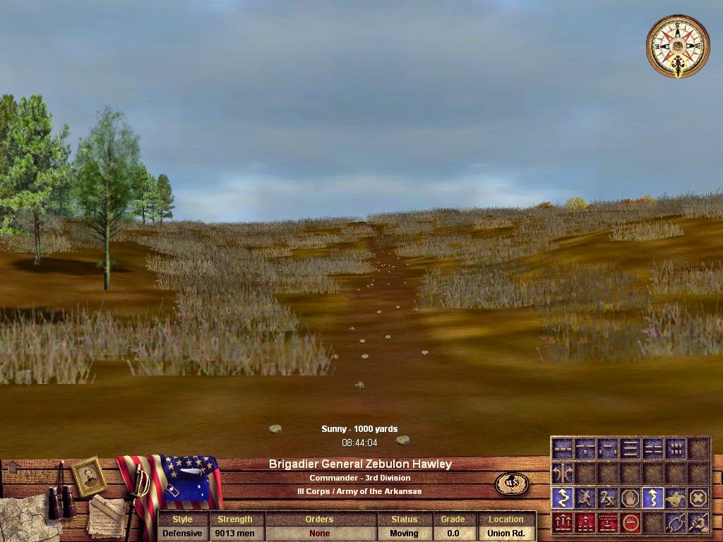
This set of screenshots follows a division from where it enters the Cross Plains map on the Union Road (from Pilot Hill). It is marching south and will deploy in reserve columns in the corn field just south of town on Newburg Road. It enters the map at 8:30 a.m. and if fully deployed just south of town at 9:20 a.m.
It passes the J. Glover farm and then the Smith farms at "Smith Junction," where there is a road leading to the Sheid farm to the east. There are a number of hills and valleys with units disappearing briefly in the valleys between Glover and Smith and then between Smith and Cross Plain Town. When the lead regiment is just entering town near the post office (white building with shed in back), the last unit is still at the Smith Farms.


No comments:
Post a Comment